START OUTSIDE · The gallery is not the whole visit
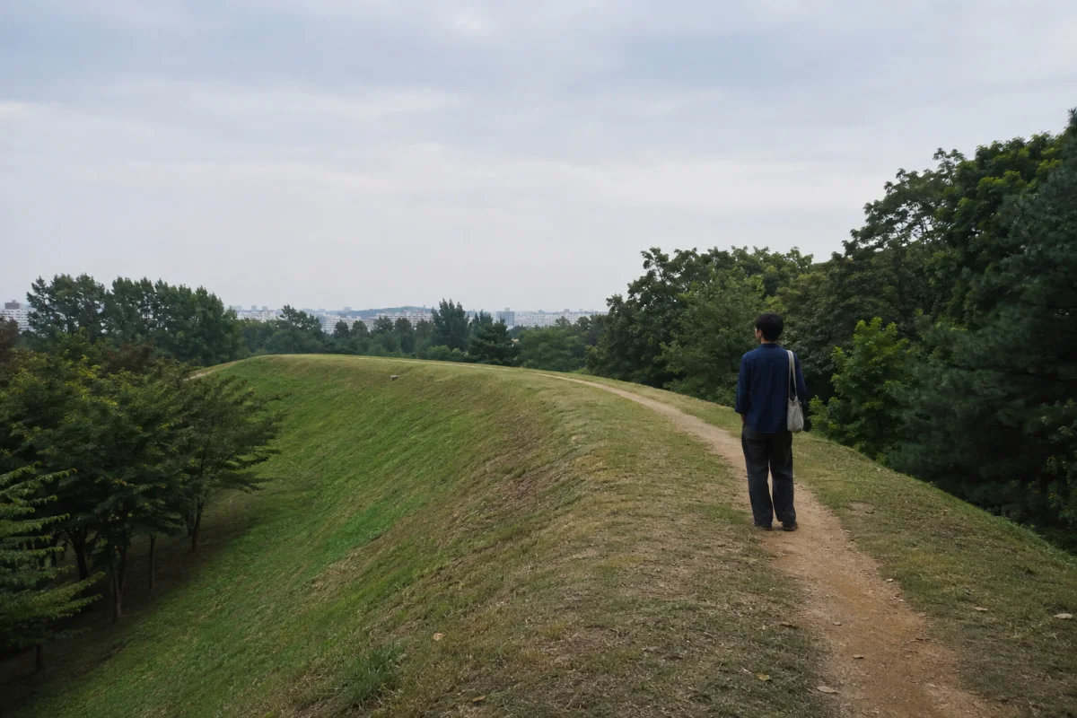
Mongchontoseong is a grass-covered earthen fortification inside Olympic Park, so the first evidence is the shape of the land rather than a standing stone wall. Seoul’s 2026 English guide describes a 2.7-kilometer wall, while the city’s official tourism page lists a 2.4-kilometer public walking trail and free entry. Read those as different measurements—the fortification and the visitor path—not as competing claims.
The timing matters in 2026. Seoul Baekje Museum’s current notice says its first-floor exhibition hall and lobby are being renovated, while the Korean home page dates construction from May through November. The English notice says the second-floor restaurant, parking lot and library remain open, but that is not a promise that the normal permanent-gallery experience is available. Check the live museum notice before making the building your reason for the trip.
READ THE RIDGE · Follow construction logic, not photo spots
Walk slowly enough to notice where the ridge gains height, where the slope falls away and how the route relates to lower ground. An earthen wall works through mass, contour and controlled approach. The Korea Heritage Service classifies Mongchontoseong as an early Baekje fortification from the fourth to fifth centuries and records its designation as a Historic Site on July 22, 1982.
Do not turn every bump into a building or every hollow into a gate. Visible topography, a modern park path and an excavated feature are different kinds of evidence. Use on-site interpretation where available, stay on the public route and leave plants, soil and loose material exactly where they are. A useful field question is simply: what can I see, and what claim would require archaeology to confirm?
TWO OCCUPATIONS · Baekje first, then Goguryeo
Seoul’s official history page uses the conventional sequence of Baekje rule in the capital area until 475, followed by Goguryeo control. It says Goguryeo established a headquarters at Mongchontoseong after taking Hanseong. That makes the site a poor candidate for a one-kingdom caption, even though its identity is strongly associated with early Baekje.
A peer-reviewed study of the northern-gate excavations likewise distinguishes Baekje and Goguryeo activity layers. The paper interprets roads and facilities as part of Hanseong-period Baekje development, then identifies material evidence for Goguryeo use after 475. The careful lesson is not that the grass reveals a date by itself; it is that excavated layers let researchers separate successive uses of the same strategic ground.
ONE LOOP · Give the landscape about two hours
An official Seoul walking itinerary sequences Hanseong Baekje Station, Peace Plaza, Gommaldari Bridge, Mongchontoseong and Seoul Baekje Museum, with about two hours listed for the route. Use that as a planning frame rather than a race. Start with the open park landscape, pause where the wall line is easiest to follow, and treat the museum end point as conditional while renovation continues.
The official tourism page lists the fortress area as open daily from 5 AM to 10 PM and notes accessible restrooms, parking and information services in the wider park. It does not certify every sloped section of the ridge as step-free. Visitors who need a level route should ask the park information desk about the day’s best accessible approach before committing to the upper path.
THREE NOTES · Build a record without collecting anything
Make three short notes: one observation about the slope, one question about how people moved through it and one point that came from an official label or source rather than your own eye. This keeps a walk from becoming a list of unsupported identifications. It also gives you something useful to compare with the museum’s renewed interpretation after the galleries reopen.
Photography can follow the same rule. Frame the contour, the relationship between path and ridge, or the meeting of old ground and the present city. Avoid presenting an ordinary patch of soil as an exposed archaeological layer. The site becomes more interesting when uncertainty is visible instead of edited out.
SEOULIAN INTERPRETATION · A capital can survive as a change in elevation
Seoul often teaches history through gates, halls and skylines. Mongchontoseong offers a quieter form: a capital landscape carried in curves of earth, then reinterpreted by excavation. The distinction between Baekje construction and later Goguryeo use does not reduce the site to a contest over ownership; it shows how one piece of terrain gathered different urban purposes over time.
That is why the best visit begins with restraint. Walk first, separate observation from interpretation, and let the renewed museum answer questions the park raises. A modern public path can hold ancient complexity without turning it into spectacle.
THE SEOULIAN SIGNAL · EDITORIAL INTERPRETATION
Why this matters
During the 2026 gallery renovation, plan Mongchontoseong as an outdoor two-hour landscape reading: follow the ridge, label your own observations separately from archaeological claims, and verify the live museum notice before expecting permanent galleries.
SOURCE DESK · RESEARCH RECORDS
Research used for this analysis
- History of Seoul Seoul Metropolitan Government · Primary city source for the conventional Baekje–Goguryeo chronology in the Seoul area, the 475 transition and Goguryeo use of Mongchontoseong.
- 2026 Seoul Tourist Guidebook Seoul Metropolitan Government · Current city visitor source for Mongchontoseong’s 2.7-kilometer wall and Olympic Park’s published access hours.
- Mongchontoseong Earthen Fortification, Seoul Korea Heritage Service · Primary national heritage record for classification, broad period and Historic Site designation date.
- Mongchontoseong Fortress Seoul Tourism Organization · Official visitor source, edited July 6, 2026, for the 2.4-kilometer walking trail, free access, published opening hours and accessibility facilities in the wider park.
- Permanent Exhibition Hall Construction Notification Seoul Baekje Museum · Primary current museum source for renovation of the first-floor exhibition hall and lobby and the facilities stated to remain open.
- Current Museum Home Page Seoul Baekje Museum · Primary live Korean-language source for the May–November 2026 construction period and current operating notices.
- Latest Results of the Research Excavation at the Northern Gate Area of Mongchontoseong Fortification and an Examination of Its Significance Hyeok Hee Lee · Korea Citation Index record · Peer-reviewed archaeological cross-check for distinct Baekje and Goguryeo layers, Hanseong-period roads and facilities, and post-475 Goguryeo use.
- Mongchontoseong Guided Walking Tour Seoul Tourism Organization · Official route source for the station-to-museum sequence and approximate two-hour walking plan.
Original synthesis & image rights
SEOULIAN independently synthesized current visitor conditions and historical interpretation from Seoul Metropolitan Government history and visitor material, the current Seoul Baekje Museum construction notice, the Korea Heritage Service record, an official Seoul tourism route and peer-reviewed archaeological research. No source wording, official photograph, site map, artifact image, excavation image, museum design, protected artwork or visitor likeness is reproduced. The cover is an original generic AI-generated editorial illustration made with built-in ChatGPT Image Generation and recorded with its source PNG, optimized WebP, full prompt, hashes and visible disclosure. Targets and reported usage remain attributed to the city and are not presented as independently verified outcomes.
Image disclosure
Credit: SEOULIAN · Created with ChatGPT Image Generation
Creator: SEOULIAN with ChatGPT Image Generation
Source type: SEOULIAN imagegen editorial photo
Disclosure: AI-generated editorial illustration created with ChatGPT Image Generation; illustrative and not documentary evidence of Mongchontoseong, Olympic Park, Seoul Baekje Museum, Baekje, Goguryeo, any archaeological layer, excavation, visitor, route, access condition, construction status, public program, institution, endorsement or historical event.
License: Original SEOULIAN AI-generated editorial image