One river, eleven different public rooms
Seoul Metropolitan Government traces the modern Hangang parks to riverbank work begun in 1982. Land organized mainly for flood control was remade as green public space, and the name Hangang Park was formally adopted in 1992. Today the system is managed as eleven parks—Gwangnaru, Jamsil, Ttukseom, Jamwon, Ichon, Banpo, Mangwon, Yeouido, Nanji, Gangseo, and Yanghwa—rather than as a single continuous attraction.
That distinction changes how the river should be used. Yeouido can absorb a large picnic crowd; Banpo is tied to bridges and evening views; Ttukseom mixes water leisure and transit access; Gangseo and other ecological areas ask for a slower pace. The useful question is not simply ‘How do I get to the Han River?’ but ‘Which version of the river fits the hour I have?’
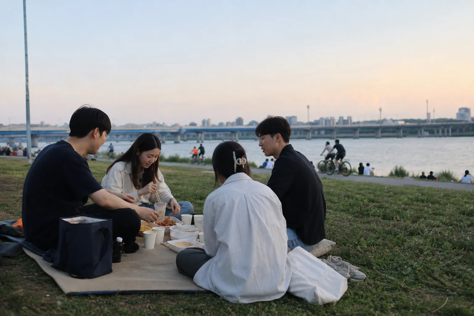
The picnic is a piece of city choreography
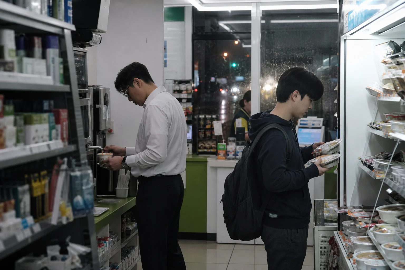
A Hangang picnic works because several ordinary systems meet at the same edge: subway access, convenience-store food, delivery zones, rental bicycles, toilets, lawns, shade, and long paths. Korea Tourism Organization guidance identifies designated delivery zones and the familiar self-service ramyeon machines at riverside convenience stores. None of these elements is grand on its own. Together they make an evening outside possible with very little planning.
The scene also explains why the river appears so often in Korean film, drama, music video, and personal photography. It lets private time happen in public without demanding a formal occasion. Friends can talk for hours, a runner can pass through, a family can spread a mat, and someone alone can watch the opposite bank. The river gives each group enough distance to feel unobserved while remaining part of the same city.
Use the commons without becoming the problem
The city’s Hangang guidance recommends checking Smart Seoul Map for nearby restrooms, bicycle access, facilities, events, and emergency information. The same guide lists basic restrictions: do not litter, cook or camp outside designated areas, damage plants, allow pets off leash, create excessive noise, or take electric scooters onto spaces where they are not permitted. Tent and shade rules vary by location and season, so posted instructions should outrank an old social-media tip.
For a low-friction first visit, choose one park, arrive by public transport, locate a restroom and waste station before settling, and bring a reusable bag for anything left after the picnic. If language becomes a barrier, the official 1330 tourist helpline offers multilingual assistance and can connect callers with emergency services. Good river etiquette is less about mastering a special code than leaving the next person the same usable patch of city.
What visitors often miss
The Hangang is spectacular at sunset, but spectacle is not its deepest value. Its achievement is routine access. A river that once divided daily movement now carries parks, paths, habitats, bridges, and shared habits along both banks. Seoul residents do not need to pretend they have escaped the city; they use the river to make city life more breathable.
That is why copying one viral picnic can feel oddly thin. The better experience is to notice the surrounding choreography: who arrived by bicycle, where delivery riders stop, how groups keep a respectful gap, when the path changes speed, and how quickly the lawn returns to ordinary life after dark.
THE LIVING SEOUL SIGNAL · EDITORIAL INTERPRETATION
What ordinary use reveals
From inside Seoul, the Hangang is less a landmark than a flexible agreement: the city supplies access and space, and millions of small acts of restraint keep that space generous.
SOURCE DESK · VERIFIED FACT TRAIL
Research used for this feature
- Hangang Parks Seoul Metropolitan Government · Official history of the park system and the eleven park identities.
- Life Platform Hangang Seoul Metropolitan Government · Current multilingual facility, safety, emergency, and usage guidance.
- Spring Days by the Hangang River: Picnic Spots and Shopping Finds Korea Tourism Organization · Practical descriptions of delivery zones, riverside ramyeon, and cycling.
Original synthesis, source trail attached
This article is SEOULIAN’s original synthesis of linked public information. It does not reproduce source prose, official maps, photographs, logos, or promotional artwork. The article does not reproduce source expression, third-party photographs, logos, maps, or entertainment assets.
Image disclosure
Credit: SEOULIAN · Created with ChatGPT Image Generation
Creator: SEOULIAN with ChatGPT Image Generation
Source type: SEOULIAN imagegen editorial photo
Disclosure: AI-generated editorial illustration created with ChatGPT Image Generation; illustrative and not documentary evidence.