
Search this page

Results update as you type.

200 stories · 200 unique images

Korea,
across time.

SEOULIAN is our word for the people of Seoul—and for cultural citizens who carry Korea beyond city limits with curiosity, welcome, and care.

Like “New Yorker” or “Parisienne,” it names a point of view. Unlike a boundary, it stays open: ancient kingdoms, living craft, food, landscape, modern history, and the culture being made now.

Read the cultural mission
A natural AI-generated SEOULIAN editorial photograph illustrating K-pop K‑Pop K-pop A Wikimedia Commons image illustrating Cinema of South Korea K‑Movie Cinema of South Korea A natural AI-generated SEOULIAN editorial photograph illustrating Korean drama K‑Drama Korean drama

Places & Nature

28 stories · Page 1 of 2

A Wikimedia Commons image illustrating Geography of South Korea

Geography of South Korea

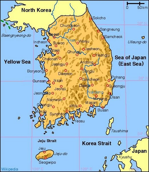
South Korea is located in East Asia, on the southern portion of the Korean Peninsula located out from the far east of the Asian landmass. The only country that shares a land border with South Korea is North Korea, lying to the north with 238 kilometres (148 mi) of the border running along the Korean Demilitarized Zone.

Read the brief
A natural AI-generated SEOULIAN editorial photograph illustrating List of national parks of South Korea

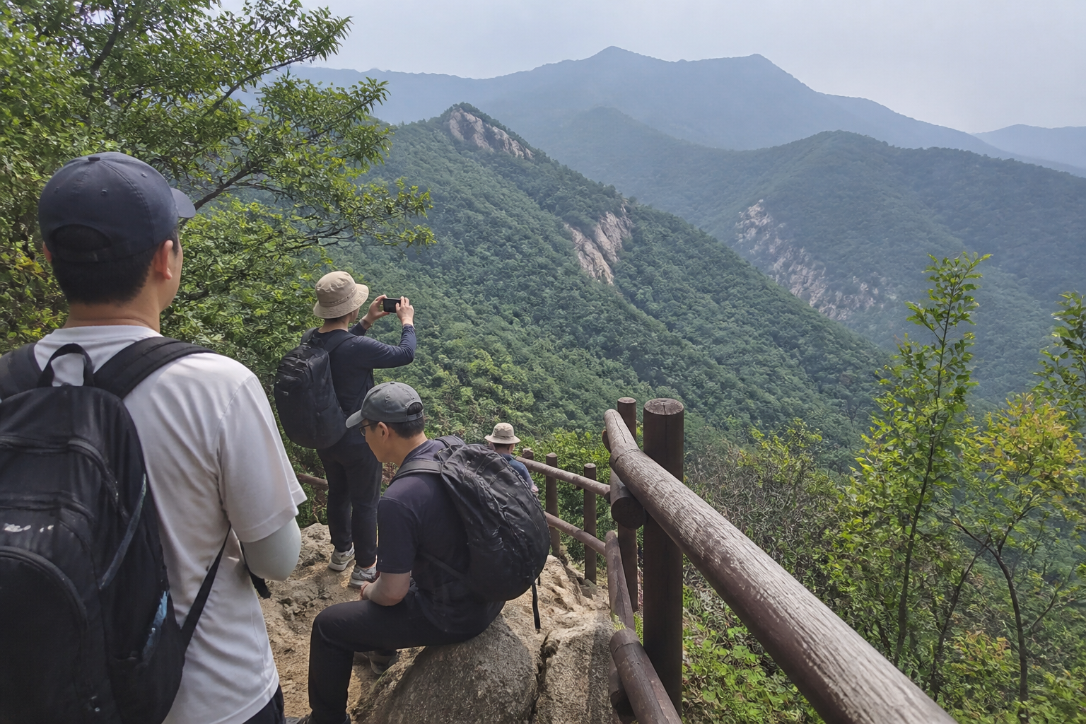
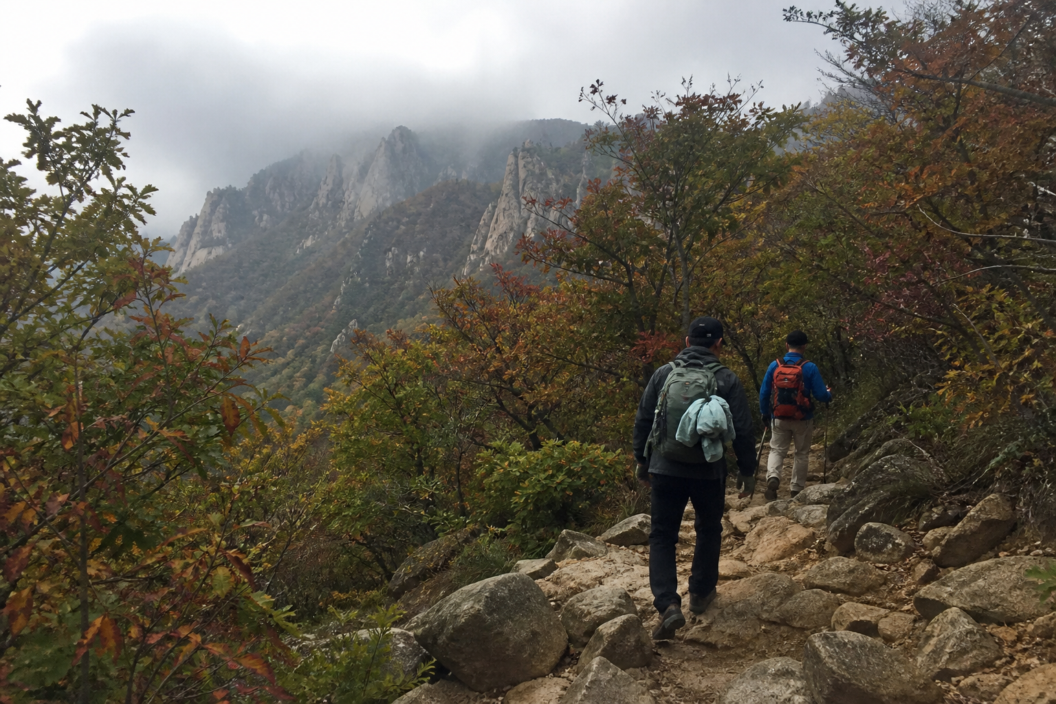
List of national parks of South Korea

The national parks of South Korea are preserved parcels of public land on which most forms of development are prohibited. They cover a total of 6.6% of the country's area, and are typically located in mountainous or coastal regions.

Read the brief
A natural AI-generated SEOULIAN editorial photograph illustrating Seoraksan

Seoraksan

Seoraksan (Korean: 설악산), or Mount Sorak, is the highest mountain in the Taebaek mountain range in the Gangwon Province in eastern South Korea. It is located in the Seoraksan National Park, near Sokcho. After the Hallasan volcano on Jeju Island and Jirisan in the south, Seoraksan is the third highest mountain in South Korea.

Read the brief
A Wikimedia Commons image illustrating Hallasan

Hallasan

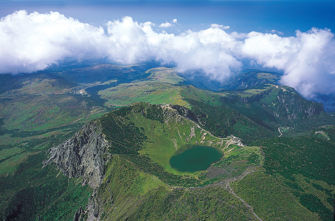
Hallasan (Korean: 한라산) is a shield volcano comprising much of Jeju Island in South Korea. Its summit, at 1,947 m (6,388 ft), is the highest point in the country. The area around the mountain is a designated national park, named Hallasan National Park.

Read the brief
A natural AI-generated SEOULIAN editorial photograph illustrating Jirisan

Jirisan

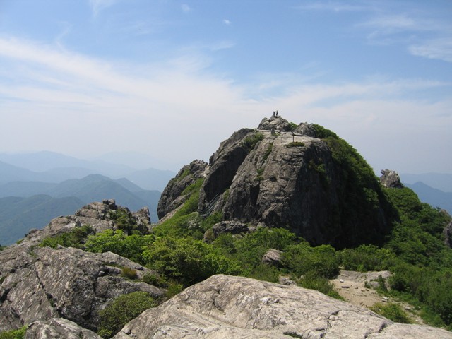
Jirisan (Korean: 지리산) is a mountain located in the southern region of South Korea. It is the second-tallest mountain in South Korea after Jeju Island's Hallasan, and is the tallest mountain in mainland South Korea. The 1915m-high mountain is located in Jirisan National Park.

Read the brief
A Wikimedia Commons image illustrating Bukhansan National Park

Bukhansan National Park

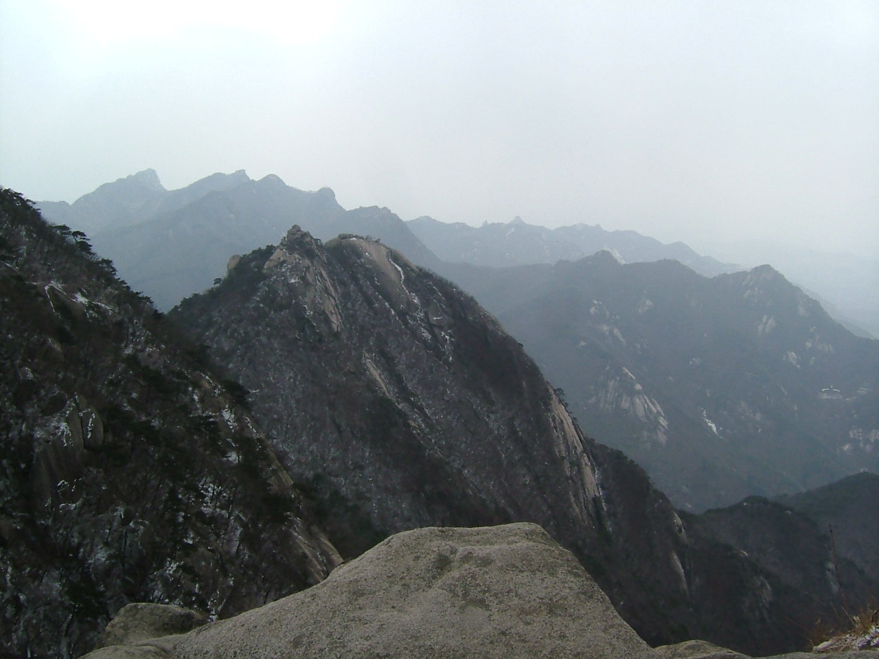
The Bukhansan National Park (Korean: 북한산국립공원; Hanja: 北漢山國立公園) in Seoul and Gyeonggi Province covers an area of 79.92 km2 (30.86 sq mi) and was established on 2 April 1983. Bukhansan means "mountains north of the Han River". The park contains forested areas, temples and granite peaks.

Read the brief
A natural AI-generated SEOULIAN editorial photograph illustrating Songnisan

Songnisan

Songnisan is a mountain and National Park in South Korea. It lies in the Sobaek mountains along the border between the North Gyeongsang and North Chungcheong Provinces. Its main attractions are the temple Beopjusa and an especially picturesque peak, Munjangdae (1,029 m). The mountain's highest peak is Cheonhwangbong, at 1,058.4 m (3,472 ft).

Read the brief
A Wikimedia Commons image illustrating Gayasan National Park

Gayasan National Park

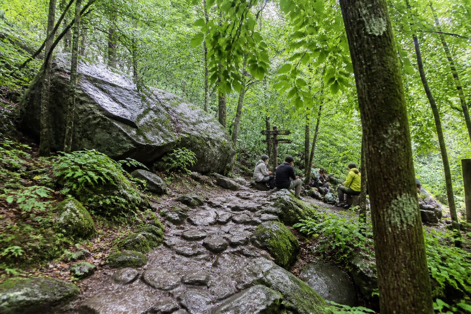
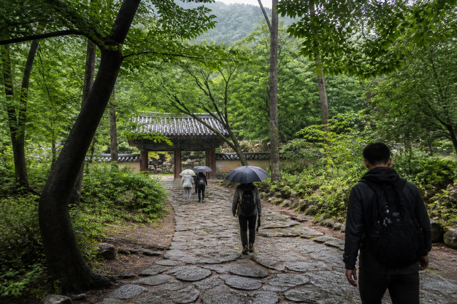
Gayasan National Park, also known as Gaya Mountain National Park (Korean: 가야산국립공원), is a large national park in the eastern part of South Korea. The park is named in honor of Gayasan and became a National Park in 1972. The park includes Haeinsa, which is one of the main temples of the Jogye Order of Korean Buddhism.

Read the brief
A natural AI-generated SEOULIAN editorial photograph illustrating Odaesan

Odaesan

Odaesan, also known as Mount Odae-san or Mount Odae (Korean: 오대산; Hanja: 五臺山), is a major cluster of mountains and national park in eastern Gangwon Province, South Korea, standing at the junction of Gangneung City, Pyeongchang County and Hongcheon County.

Read the brief
A natural AI-generated SEOULIAN editorial photograph illustrating Suncheon Bay

Suncheon Bay

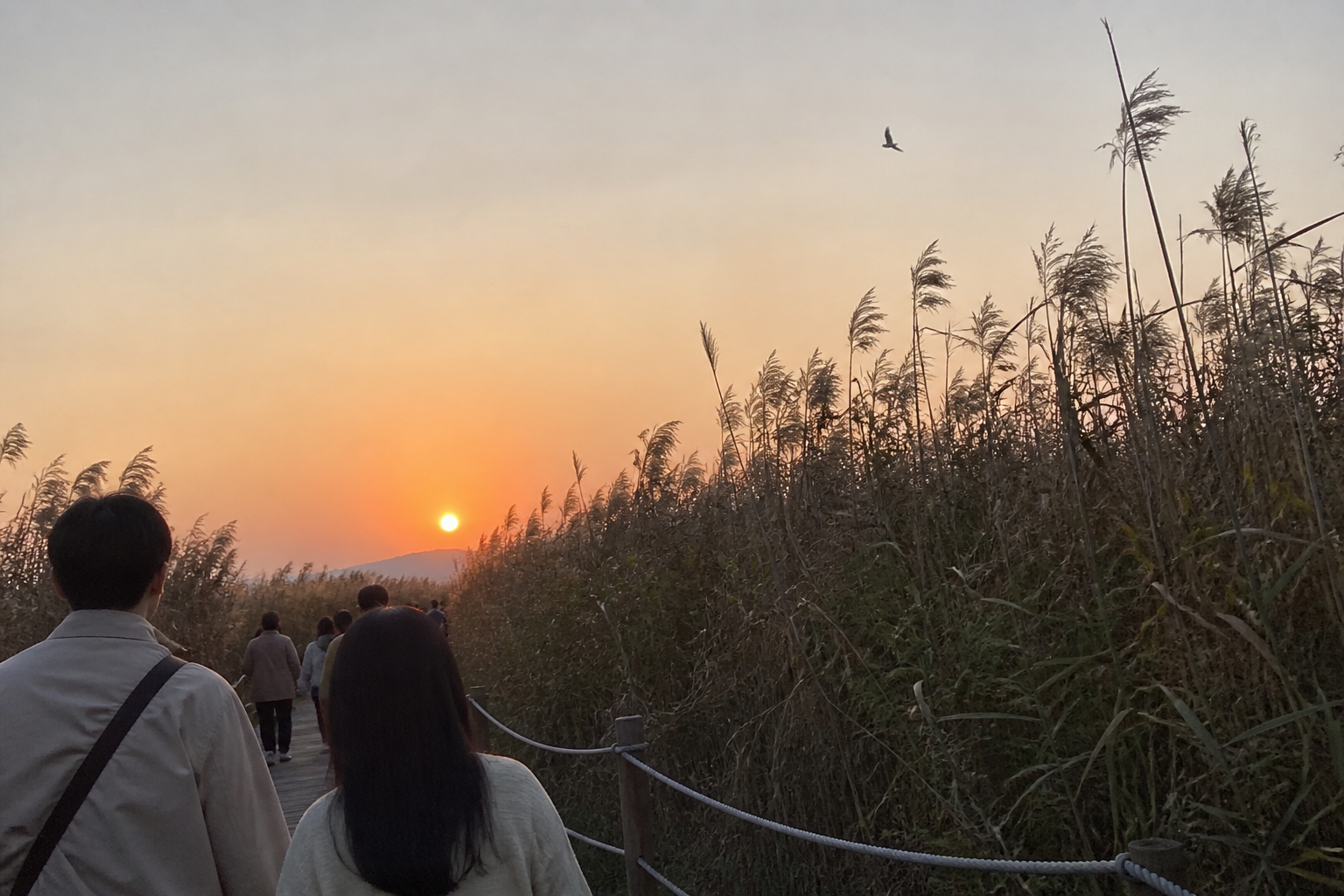
Suncheon Bay is a coastal wetland in Suncheon, South Jeolla Province, South Korea. It is composed of a 3.5 km (2.2 mi) long stream, a 2,221 ha (5,490 acres) wide tideland and a 230 ha (570 acres) wide field of reeds. Due to its natural coast, it is the habitat of migratory birds, plants and animals.

Read the brief
A natural AI-generated SEOULIAN editorial photograph illustrating Dadohaehaesang National Park

Dadohaehaesang National Park

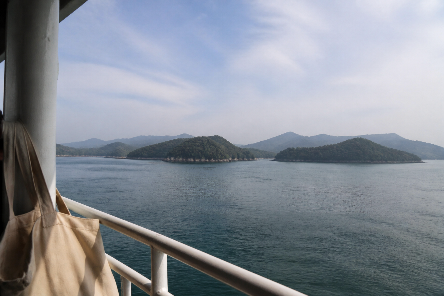
Dadohaehaesang National Park (Korean: 다도해해상국립공원; Hanja: 多島海海上國立公園) was designated in 1981 as the largest national park in South Korea. The total area is 2,321.5 km2 (896.3 sq mi) with 1,986.6 km2 (767.0 sq mi) being marine area and 334.8 km2 (129.3 sq mi) being land area. Main attractions of Dadohaehaesang National Park are Hongdo, Heuksando and Baekdo.

Read the brief
A natural AI-generated SEOULIAN editorial photograph illustrating Upo Wetland

Upo Wetland

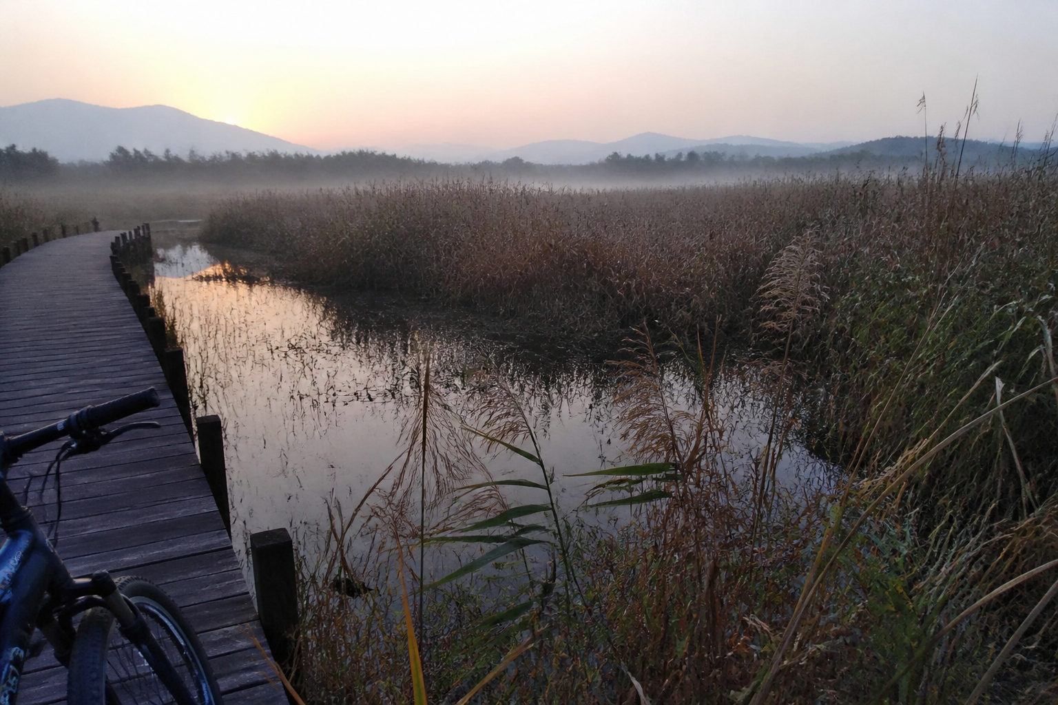
Upo Wetland (Korean: 우포늪) is a complex of natural wetlands located in Changnyeong County, South Gyeongsang Province, South Korea. It is located in portions of Yueo-myeon, Ibang-myeon and Daehap-myeon, near the Nakdong River. It derives its name from the largest of the wetlands, Upo. Other wetlands in the complex include Mokpo, Sajipo and Jjokjibeol wetlands.

Read the brief
A natural AI-generated SEOULIAN editorial photograph illustrating Jeju Island

Jeju Island

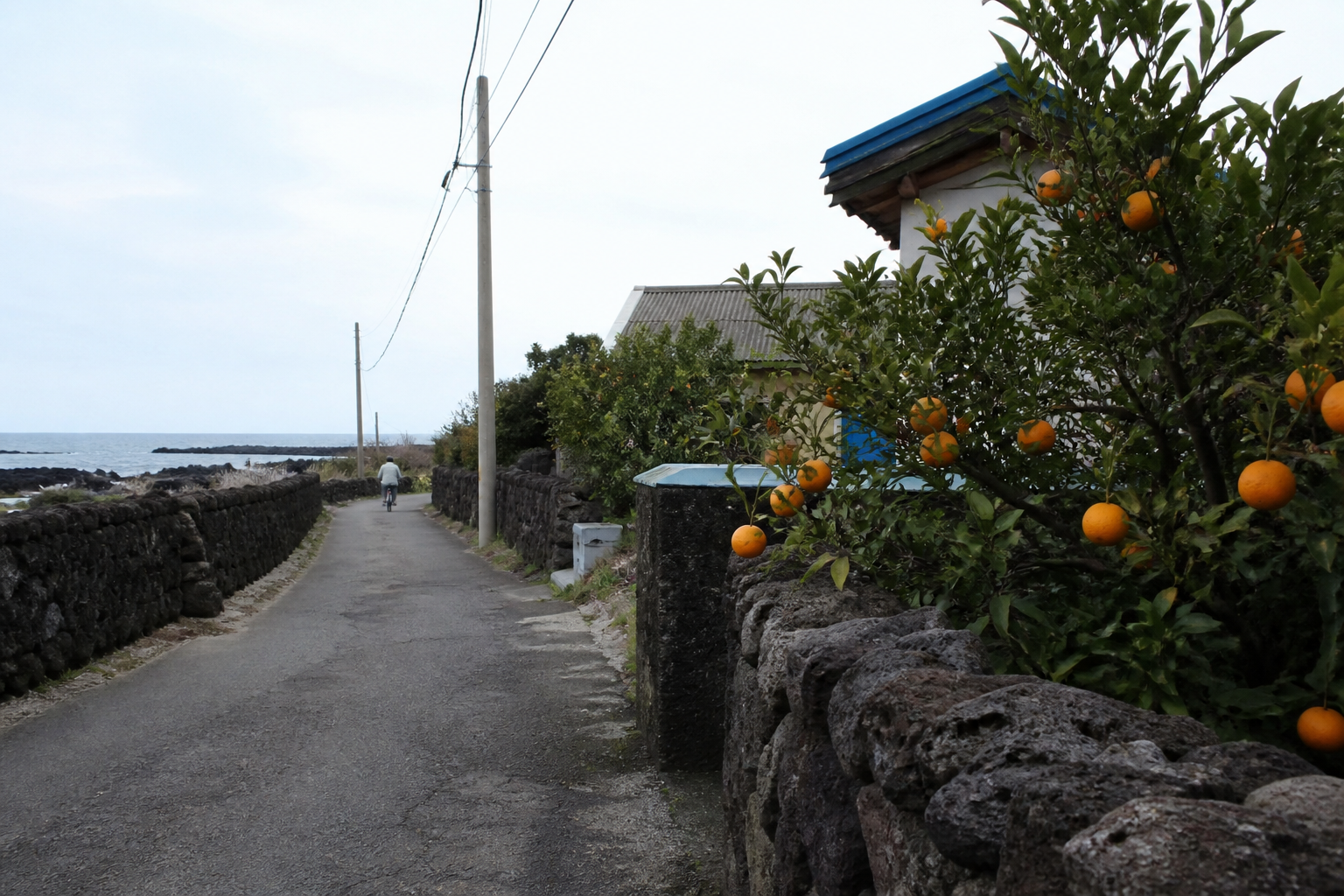
Jeju Island (Jeju and Korean: 제주도; pronounced [tɕeːdʑudo]) is South Korea's largest island, covering an area of 1,833.2 km2 (707.8 sq mi), which is 1.83% of the total area of the country. Alongside outlying islands, it is part of Jeju Province and makes up the majority of the province.

Read the brief
A Wikimedia Commons image illustrating Jeju Volcanic Island and Lava Tubes

Jeju Volcanic Island and Lava Tubes

The Jeju Volcanic Island and Lava Tubes (Korean: 제주 화산섬과 용암 동굴) is a World Heritage Site in Jeju Province, South Korea. It was inscribed as one of the UNESCO World Heritage Sites in 2007 because of the Geomunoreum Lava Tube System and the exhibition of diverse and accessible volcanic features which are considered to demonstrate a distinctive and valuable…

Read the brief
A natural AI-generated SEOULIAN editorial photograph illustrating Seongsan Ilchulbong

Seongsan Ilchulbong

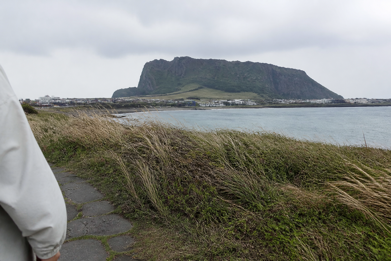
Seongsan Ilchulbong (Korean: 성산일출봉), also called Sunrise Peak, is a volcano on eastern Jeju Island, in Seongsan-ri, Seogwipo, Jeju Province, South Korea. It is 182 meters high and has a volcanic crater at the top. Considered one of South Korea's most beautiful tourist sites, it is famed for being the easternmost mountain on Jeju, and thus the best spot on…

Read the brief
A natural AI-generated SEOULIAN editorial photograph illustrating Manjanggul

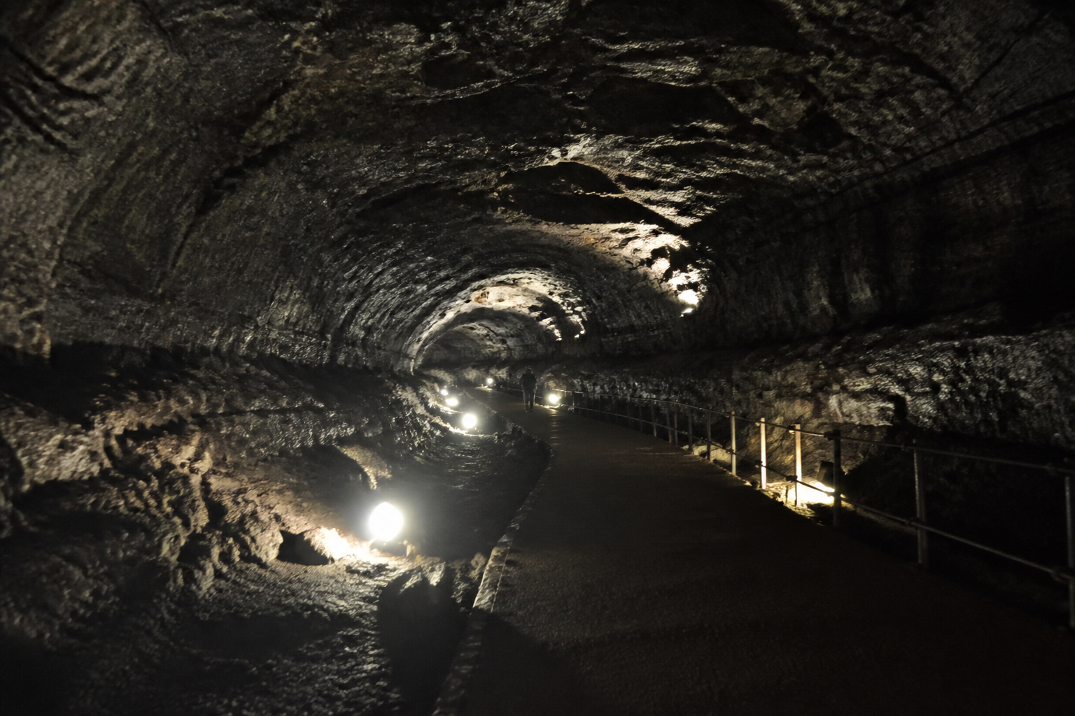
Manjanggul

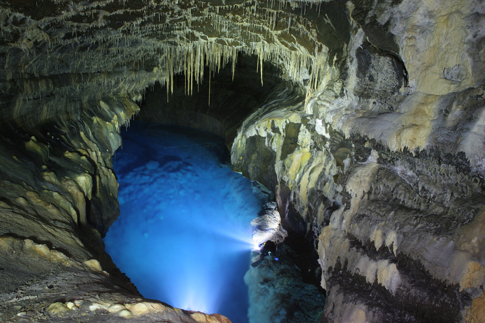
Manjanggul (Korean: 만장굴) is a lava tube located in Gimnyeong-ri, Gujwaeup, Jeju City, South Korea. At up to 23 metres (75 ft) wide, 30 metres (98 ft) high and 8.928 km (5½ miles) long, it is the 12th-longest lava tube in the world and the second longest on Jeju Island.

Read the brief
A natural AI-generated SEOULIAN editorial photograph illustrating Busan

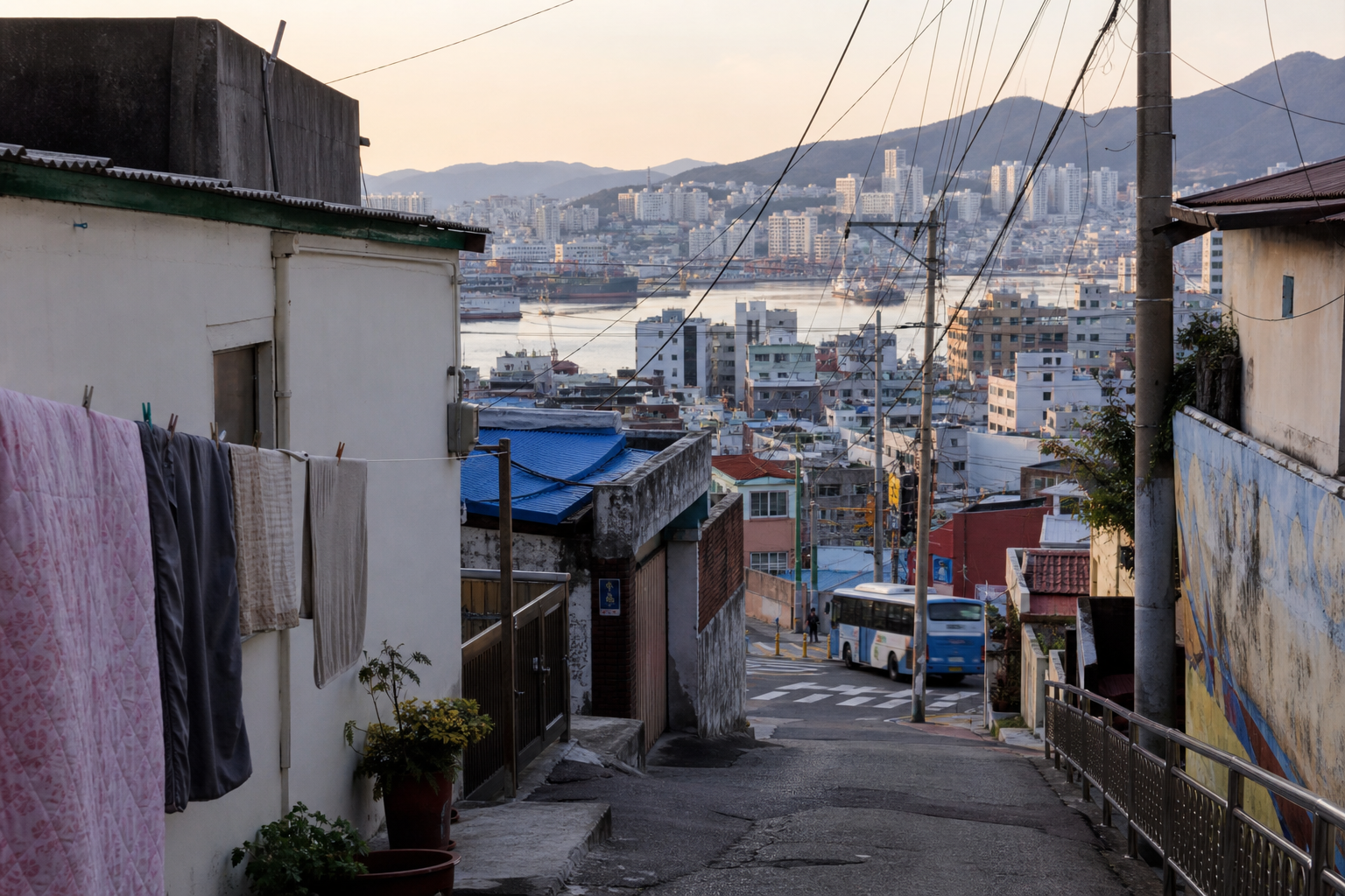
Busan

Busan (Korean: 부산; pronounced [pusʰan]; alternatively romanized as Pusan), officially Busan Metropolitan City, is the second most populous city in South Korea, after Seoul; it has a population of over 3.3 million as of 2024. It is the economic, cultural and educational center of southeastern South Korea, with its port being South Korea's busiest and the…

Read the brief
A natural AI-generated SEOULIAN editorial photograph illustrating Dol hareubang

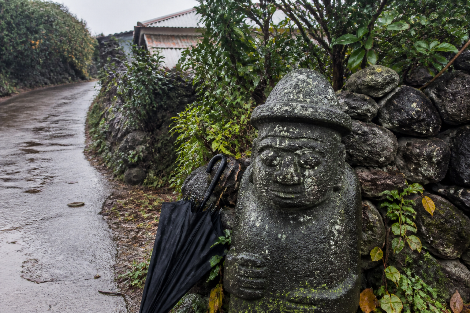
Dol hareubang

A dol hareubang (Jejuan: 돌하르방; lit. 'stone grandfather'), alternatively tol harubang, hareubang or harubang, is a type of traditional volcanic rock statue from Jeju Island, South Korea. It is not known when the statues first began to be made; various theories exist for their origin.

Read the brief
A natural AI-generated SEOULIAN editorial photograph illustrating Haeundae Beach

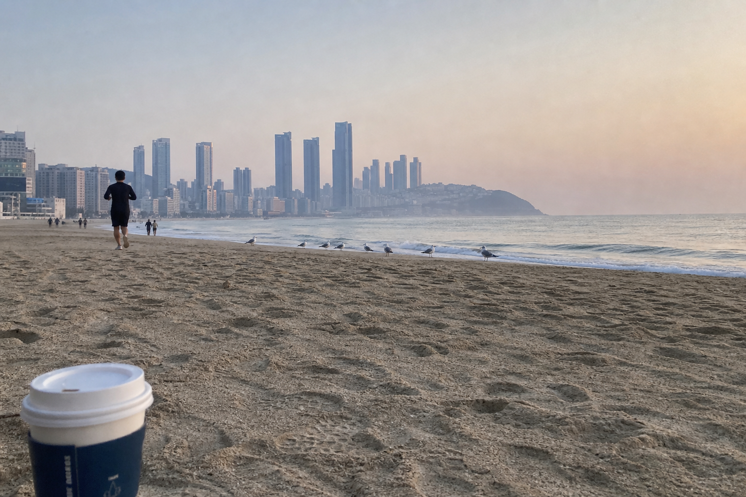
Haeundae Beach

Haeundae Beach (Korean: 해운대해수욕장) is an urban beach in Busan, South Korea, located in the eponymous Haeundae District. It is one of Busan's most popular tourist attractions and one of South Korea's most popular beaches. It is open around the year, and hosts a variety of events, including the Haeundae Sand Festival and Busan International Film Festival.

Read the brief
A natural AI-generated SEOULIAN editorial photograph illustrating Gwangalli Beach

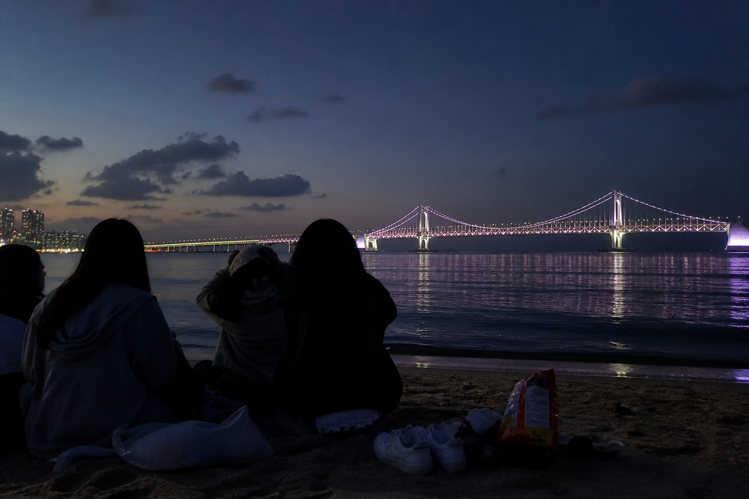
Gwangalli Beach

The Gwangalli Beach (Korean: 광안리 해수욕장) or Gwangan Beach is a beach in Gwangan 2(i)-dong, Suyeong District, Busan, South Korea. It is west of Haeundae Beach. It sits inside a cove spanned by the Gwangan Bridge and covers 82,000 square meters over a length of 1.4 km and a width of 25 to 110 metres, in a curved in a half-moon shape with fine sand.

Read the brief
A Wikimedia Commons image illustrating Gyeongju

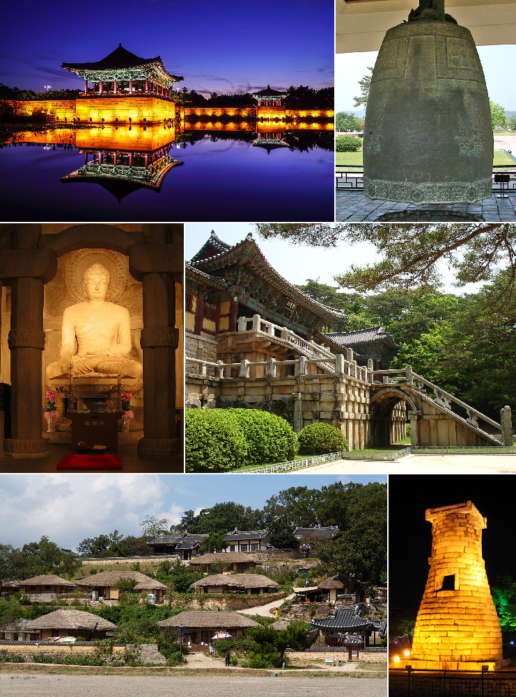
Gyeongju

Gyeongju (Korean: 경주; pronounced [kjʌŋ.dʑu]), historically known as Sŏrabŏl (서라벌; pronounced [sʰʌ.ɾa.bʌɭ]), is a coastal city in the far southeastern corner of North Gyeongsang Province, South Korea. It is the second largest city by area in the province after Andong, covering 1,324 km2 (511 sq mi) with a population of 264,091 people as of December 2012.

Read the brief
A Wikimedia Commons image illustrating Gyeongju Historic Areas

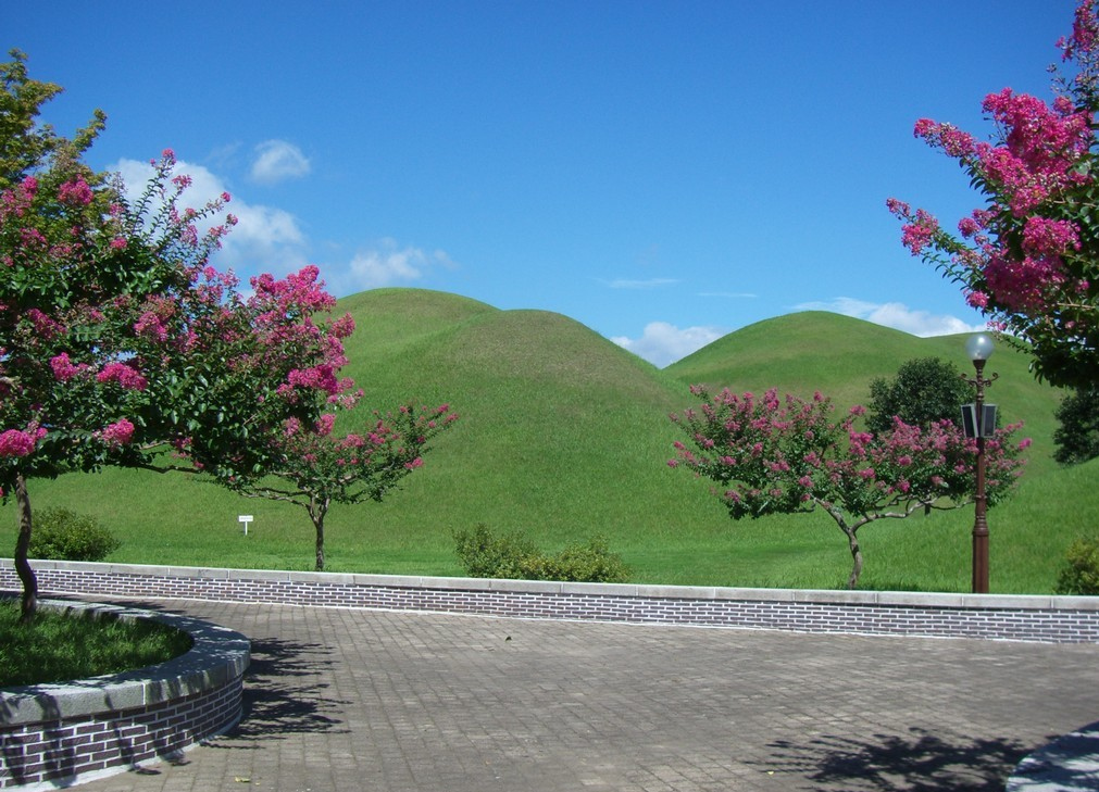
Gyeongju Historic Areas

Gyeongju Historic Areas (Korean: 경주 역사유적 지구) is a World Heritage Site in Gyeongju, South Korea that was designated by UNESCO in 2000. The protected areas encompass the ruins of temples and palaces, outdoor pagodas and statuary, and other cultural artifacts left by the Koreanic kingdom Silla (57 BC – 935 AD).

Read the brief
A natural AI-generated SEOULIAN editorial photograph illustrating Gamcheon Culture Village

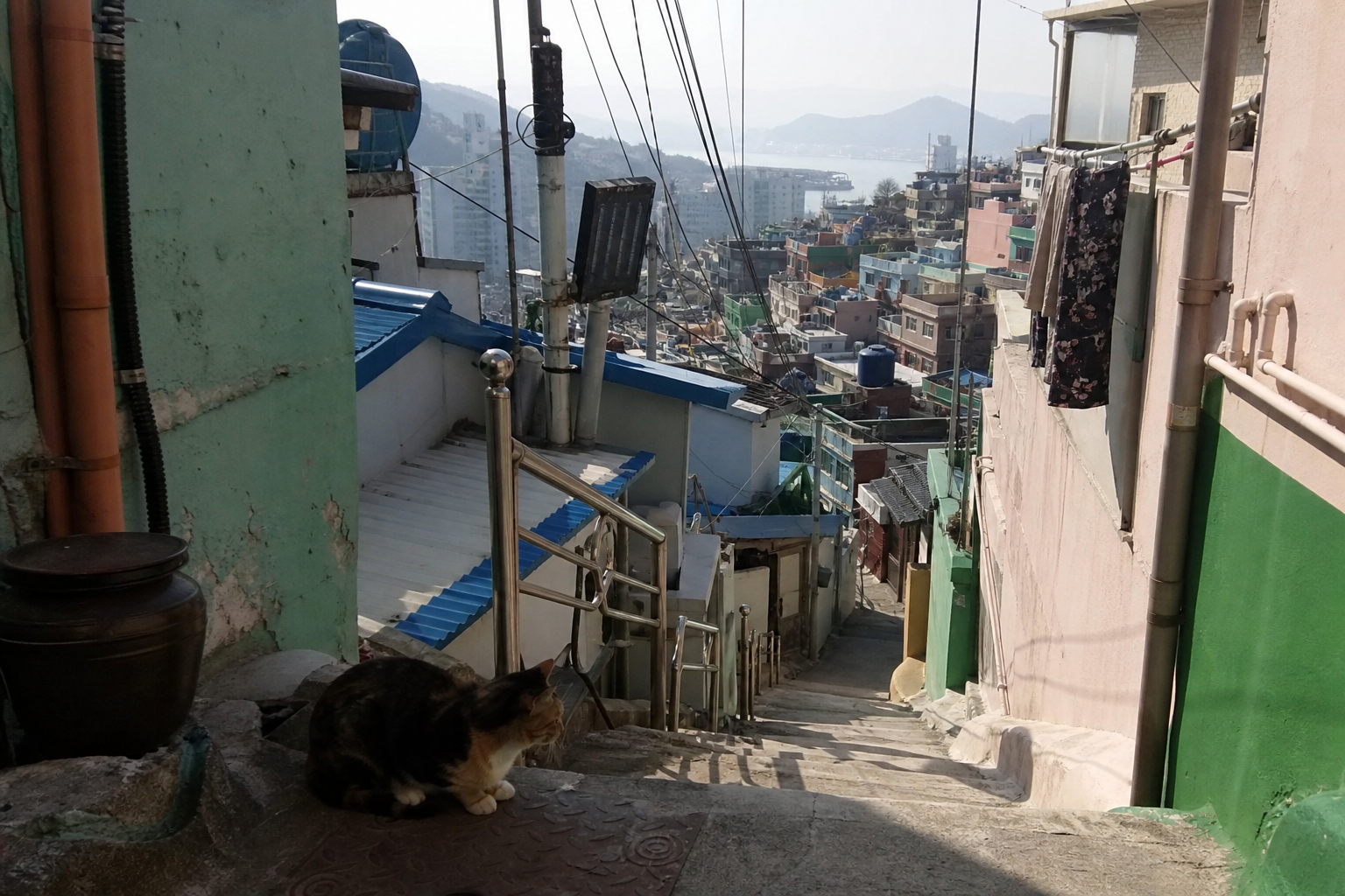
Gamcheon Culture Village

Gamcheon Culture Village (Korean: 감천문화마을) is a town within Gamcheon-dong, Saha District, Busan, South Korea. The area is known for its layered streets, twisted labyrinth-like alleys, and brightly painted houses, which have been restored and enhanced in recent years to attract tourism.

Read the brief
A natural AI-generated SEOULIAN editorial photograph illustrating Bulguksa

Bulguksa

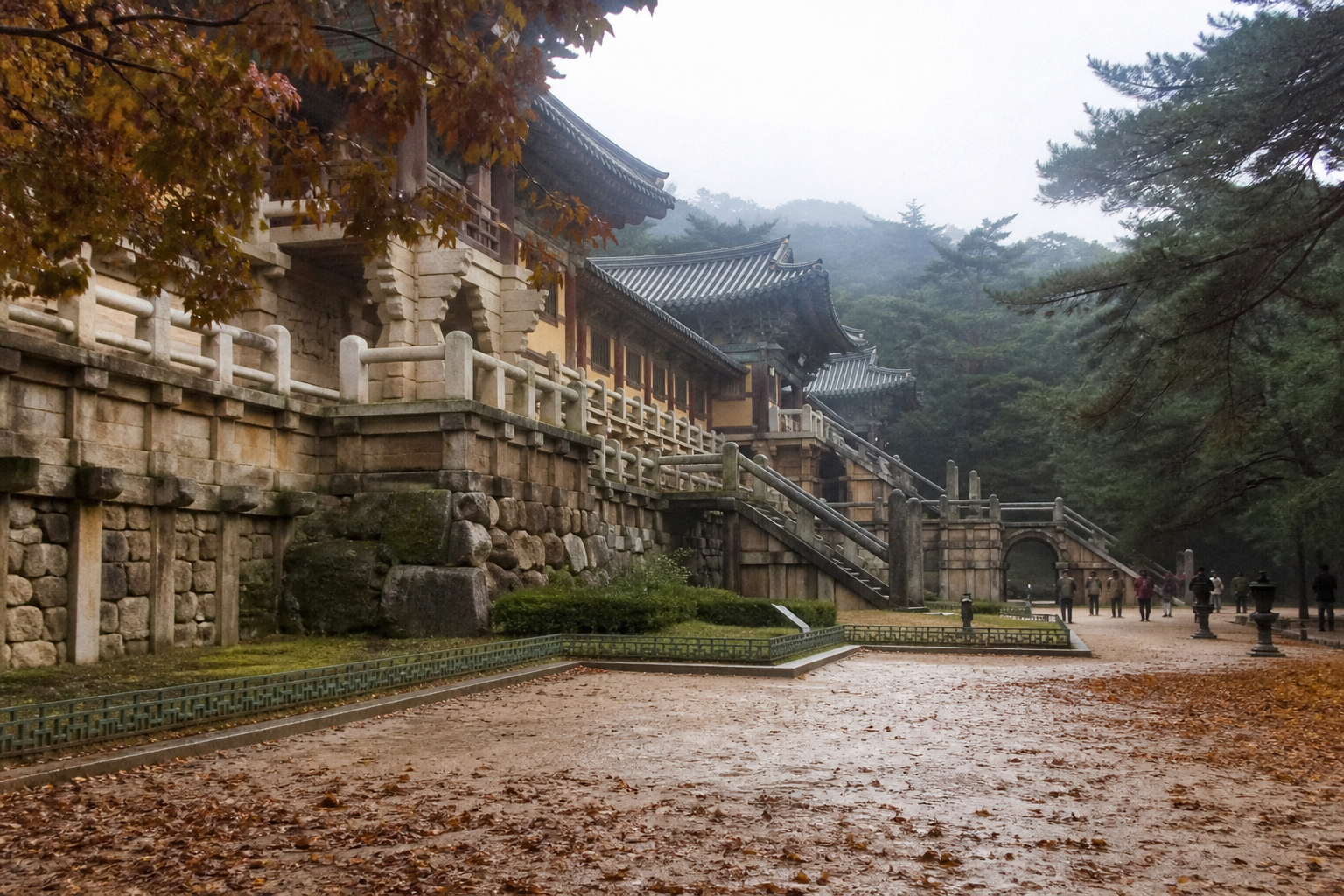
Bulguksa (Korean: 불국사) is a Buddhist temple on Tohamsan, in Jinhyeon-dong, Gyeongju, North Gyeongsang Province, South Korea. It is a head temple of the Jogye Order of Korean Buddhism and contains six National Treasures, including the Dabotap and Seokgatap stone pagodas, Cheongun-gyo (Blue Cloud Bridge), and two gilt-bronze statues of Buddha.

Read the brief